Land, Ocean, Coastline and Sea Level
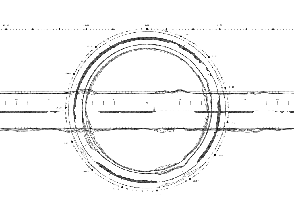
While Landsat’s main emphasis is on capturing images of the Earth’s land surface, its orbital pattern implies an inherent homogeneity.
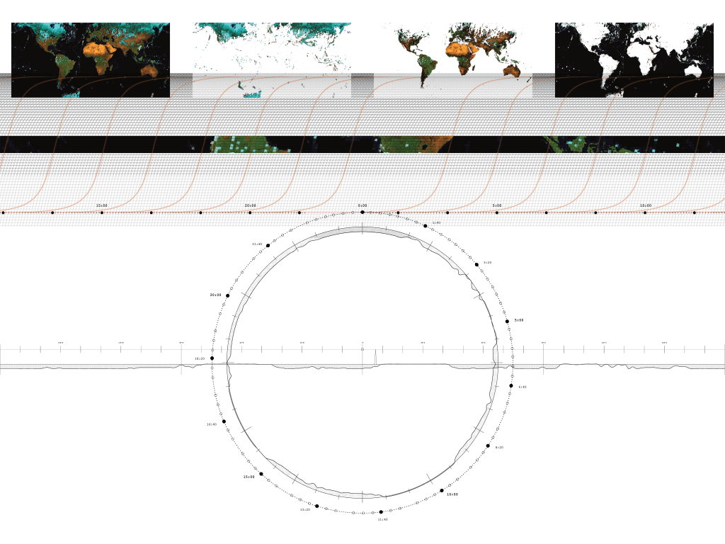
Conventional cartography employs maps for demarcating territories on land and bathymetric charts for navigating through the ocean. However, satellite images do not inherently connotes those purposes. Their primary focus revolves around mediating the depth of atmosphere to capture
the Earth’s surface and differentiate geographic features through visual rendition.
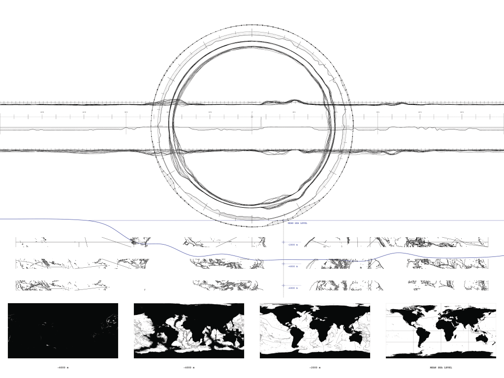
In principle, satellite images do not register land and ocean as separate territories of representation. Yet the advantages and limitations of optical satellite imaging are inherently dictated by the nature of the medium itself. Ocean becomes the blind territory for optical imaging. The brink of its sensing ability coincides with coastlines, embodying significant ambiguity.

Leave a comment